


OUR SOLUTIONS
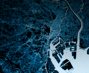
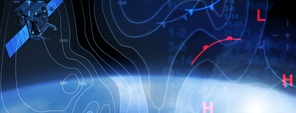
High-Resolution
Satellite Imagery
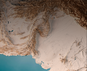
Address queries, monitor change, and revolutionize operations with Ceinsys’s high-resolution satellite imagery at the industry-best frequency. We partner with global leaders to create a live catalog of Earth, delivering meaningful updates on a global scale. Our imagery, both 2D and 3D, is ortho-rectified by our experts to furnish accurate DEMs and 3D Terrain Models to our clients across various industry verticals such as Oil and Gas, Urban Development, Forestry, Pipeline Corridor Mapping, and Mining to name a few.

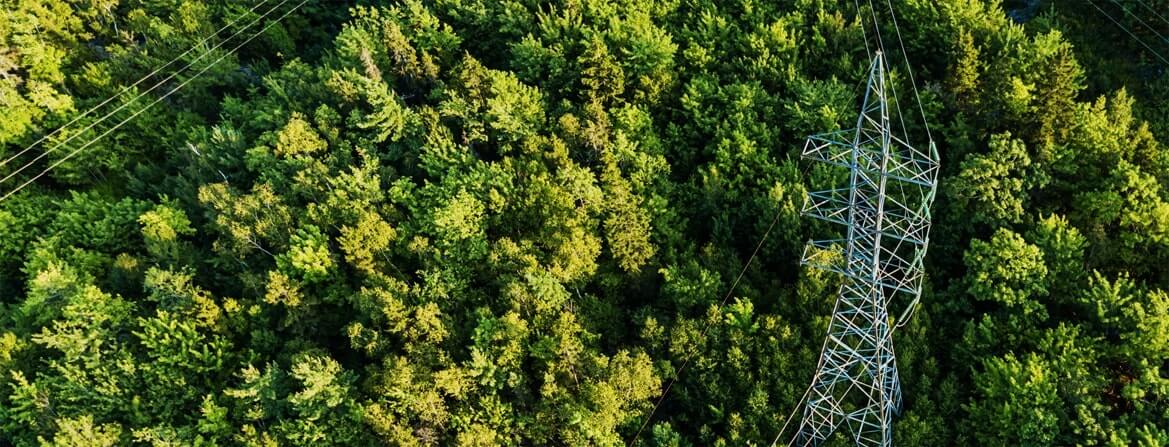
LiDAR
LiDAR stands for Light Detection & Ranging. It operates on the principle of laser scanning where a highly coherent light source is sent from the device and based on the reflectance, the image is captured. The output is a highly-accurate 3D image of the object under consideration. Ceinsys has collaborated with ViaTech, Norway, and has its own mobile LiDAR equipment. We have executed various projects ranging from topographic surveys for NHAI to working for smart cities with various state governments under the utility segment.

Aerial/UAV
Drone/Unmanned Aerial Vehicles are the next big thing. It is an unmanned aircraft remote-controlled by a pilot and is equipped with a high-resolution camera. We have a set of 5 top-end UAVs ready to serve for projects, right from capturing the natural landscape and generating databases for the Regional SACs to executing projects for the Archaeological Survey of India.

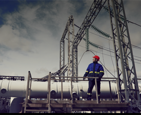
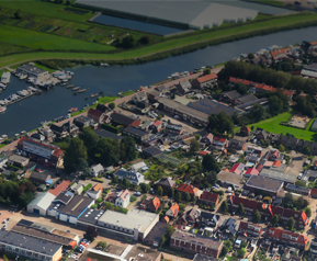
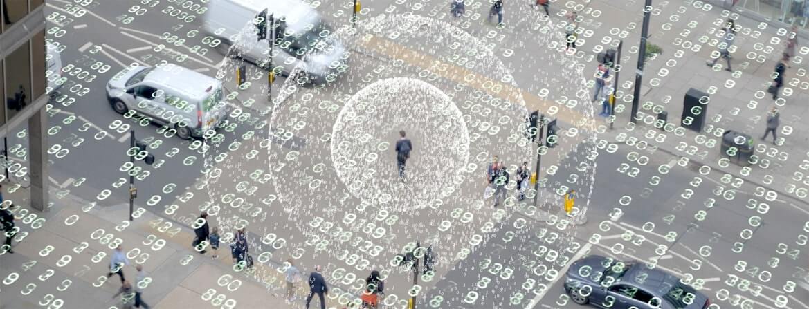
Image Interpretation & Classification
Ceinsys offers comprehensive image interpretation services that encompass everything from procuring the image and making atmospheric and radiometric adjustments to processing the image. Our computer-assisted image interpretation also includes advanced classification along with a suite of raster functions.
Ortho
Images
Orthophotos are generated by giving the oblique angle value to the photos/images. It provides a clear picture from ground level after the removal of all the angular distortions.
Contours
/DEM/DTM/DSM
Digital Elevation Models (DEM) is a specialized database that represents a three-dimensional view of the earth’s terrain. All the objects on the image are removed digitally to generate Digital Surface Model (DSM) which is filtered further to generate Digital Terrain Model (DTM). DTM is further utilized for orthophoto rectification, contour generation, 3D Models, volumetric assessment, and more.
Ceinsys provides high-quality Digital Elevation Models that focus on precise terrain representations by assembling additional spot elevations and break lines. We have partnered with leading topography providers and use WorldView-3, WorldView-2, WorldView-1, and Quickbird stereo-pair imageries to ensure optimal results.

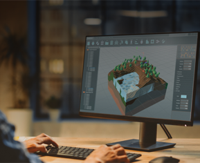
3D City
A 3D city model is a virtual representation of an urban area that serves as a basis for understanding, designing, and resolving complex urban planning challenges. They are also the building blocks of digital twins that aim to support smart city operations. Our 3D modeling team comprises Photogrammetry and LiDAR specialists that ensure photo-accurate and highly-detailed city models. These models can be used for GIS simulation and analysis to assist in applications like urban planning, environmental planning, transportation planning, disaster management, change detection, and much more.