The power of enhancing possibilities
Smarter cities. Future-ready solutions.
- Our Key Services
- Feasibility Modelling
- Incident Management (Outage, Distribution)
- Predictive Analytics & Risk Estimation
- IoT & Remote Monitoring (gas, Water, Electric)
- Change Management
- Impact Analytics
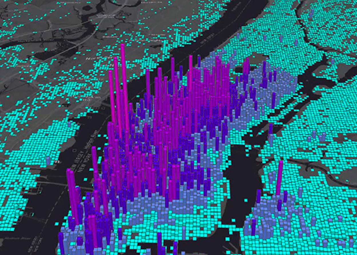
A wider perspective for better decision making
our solutions
Feasibility Modelling
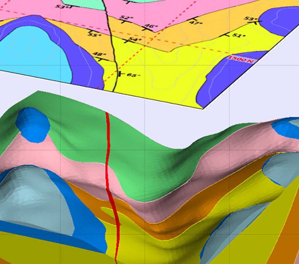
Our custom model solution involves conducting detailed surveying and creation of topographic and thematic maps for planners and civil engineers.
Ceinsys has teams with excellent GIS capability, economic and financial modelling knowledge and analytical skills that, together with our industry knowledge and market insight, enables us to undertake work in areas such as assessing the requirement of an upgrade of an infrastructure, land suitability analysis, project design & ROI assessments, and resource assessments


Predictive Analytics & Risk Estimation
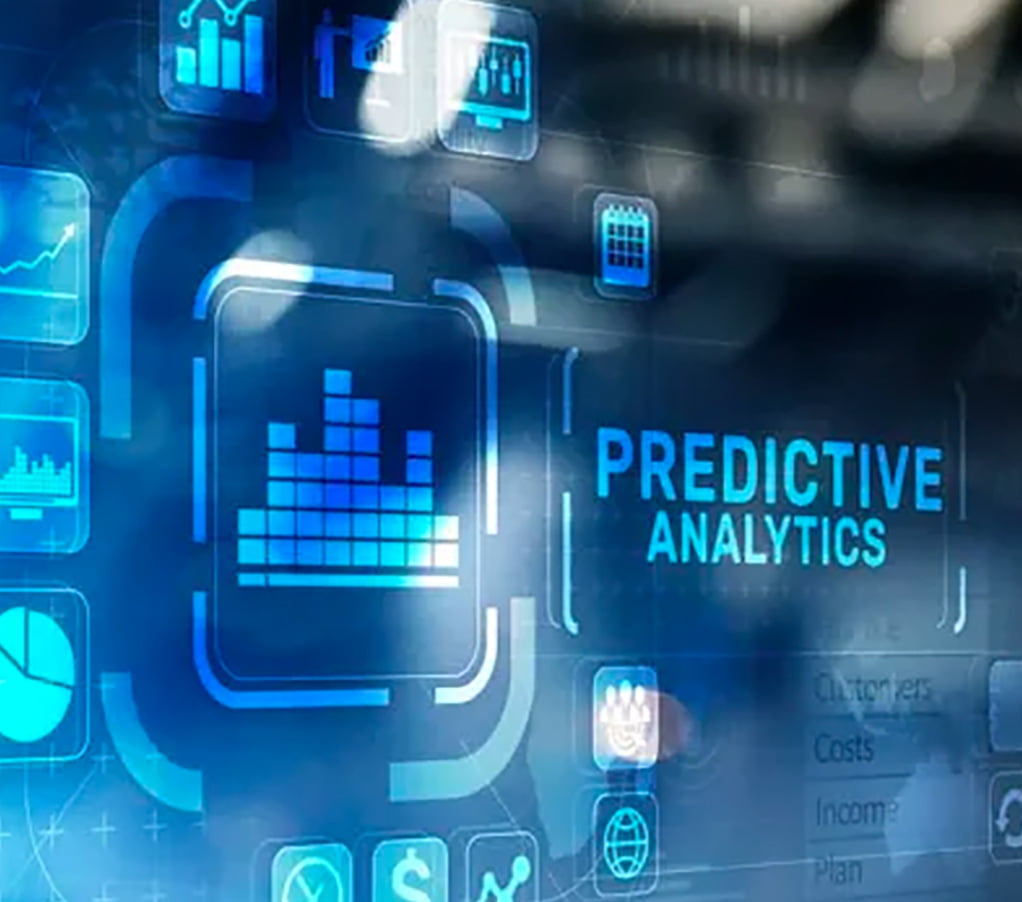
By analysing trends and spatial patterns, Ceinsys Predictive Analytics & Risk Estimation solutions enable development of predictive models that reveal hidden patterns, identify risks and opportunities, and deliver timely, data-driven reliable predictions. It helps industries such as retail,
Insurance, real estate, healthcare, local governments take informed decision. Our predictive analytics solution factors influencing strategic decisions such as demographics, infrastructure and environmental data


Change Management
In the modern analytics era, With advanced imagery analysis and processing techniques applied to ortho-imagery sets, Ceinsys solution for change detection & spatial analysis can effectively and efficiently “highlight” the areas changed over time expediting the whole process of impact analysis and decision making. Change detection solutions are relevant in detecting Landcover/landuse analytics, Vegetation management, utility ROW management, impact analytics, crop growth and more.


Impact Analytics
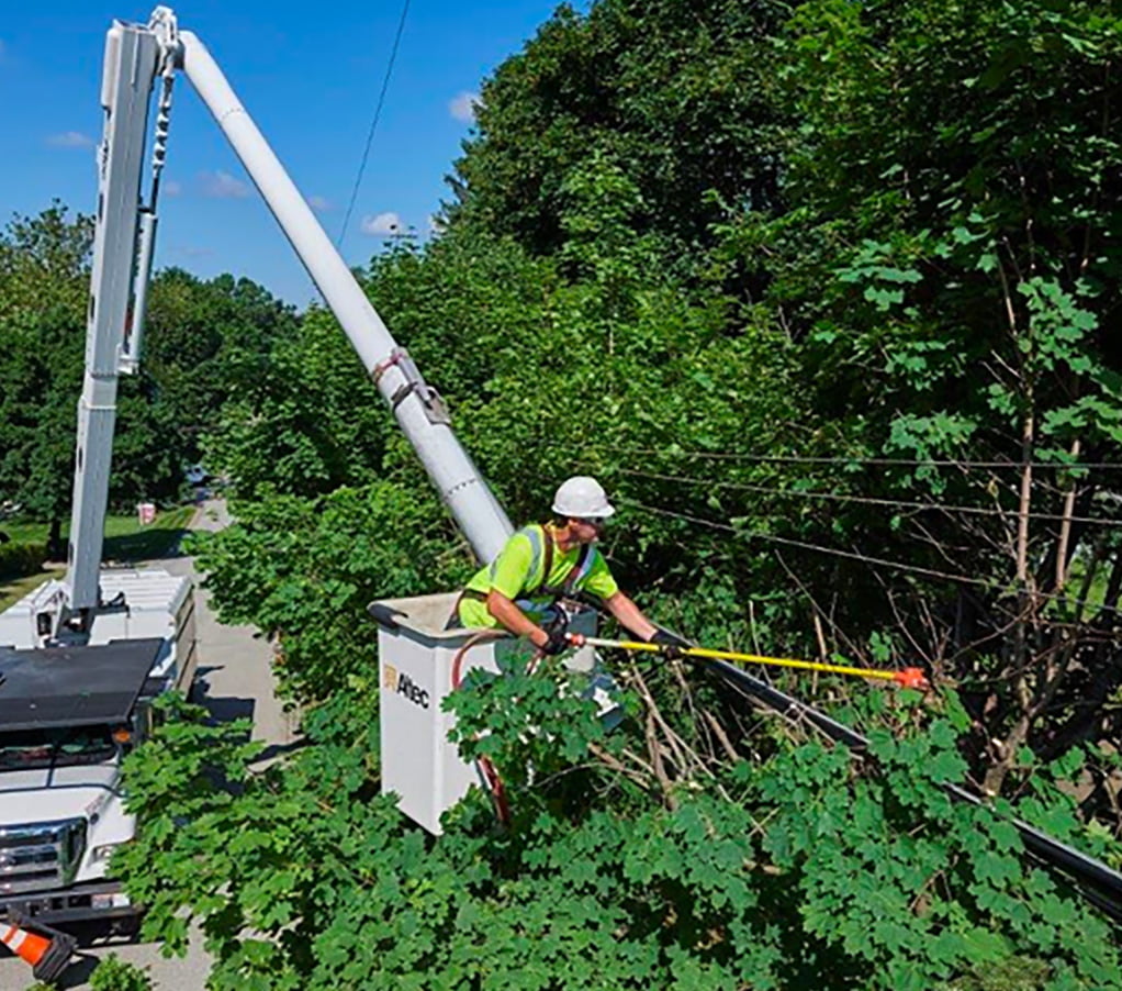
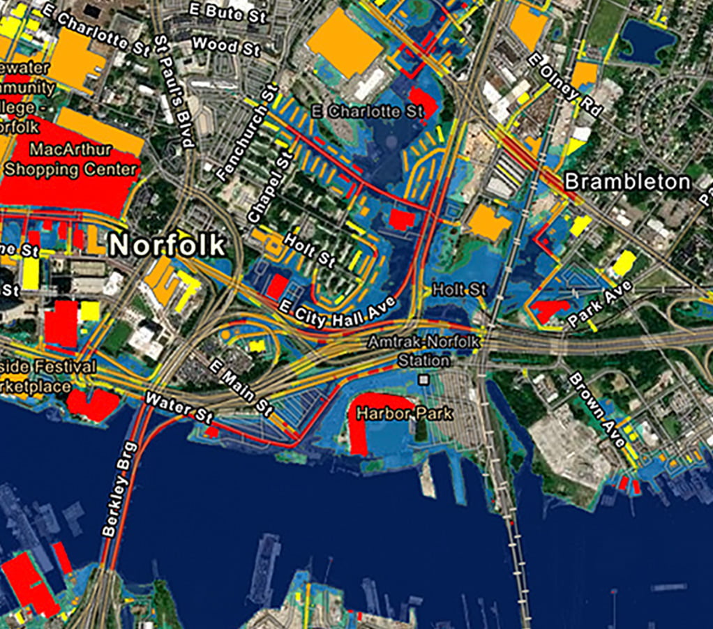
Our GIS enabled impact analytics support pre-event disaster modelling, vulnerability analysis, risk reduction & response planning as well as Post disaster recovery & response activities. By integrating historical data & data from various stakeholders, Ceinsys Impact analysis enables dissemination of critical information in a timely manner in cases of emergencies as well as support informed planning for risk mitigation. Further, the visualization of this data helps in analyzing a situation and taking quick decisions


