


 Tech Play
Creation of Spatial Data Infrastructure using High-Resolution Satellite Imagery
Basemaps are always the heart and soul of any GIS project. The State of Maharashtra took initiatives to capture the entire land area and create a landbase as a part of National GIS as laid down by Planning Commission. This project envisaged a GIS based Decision Support System based on latest satellite data of very high resolution of 50 cm for effective and transparent planning leading to better e-governance. The project aims to create a comprehensive digital database of land records, including details such as ownership, survey numbers, and land use. This digitization process will help streamline the land administration system, reduce corruption, and ensure transparency in land transactions. It will also make it easier for citizens to access and verify land records, reducing the time and effort required for property-related transactions. This project is expected to bring about significant improvements in land governance in the state.
The prime objective of this project is extraction of interpretable/visible features from High Resolution satellite images (GSD: 0.5m) into various base themes (Transport, Urban, Water) as per designed database and geospatial layer structure, which will create a central repository of base information in GIS environment. This will further reduce land disputes, enhance transparency in land transactions, facilitate easy access to land records, and promote effective land governance. It seeks to leverage technology to streamline the land administration system, making it more efficient and accessible to citizens. By digitizing land records and integrating various land-related databases, the project intends to provide a single platform for land-related information, including ownership details, property boundaries, and transaction history. This centralized system will help in reducing fraud, improving decision-making processes, and promoting sustainable land management practices.
The High-Resolution Ortho-rectified images of 50 cm resolution were procured which were the basic input for this project.
The activities were divided in 2 phases:
- Feature extraction and interpretation on 1:2K scale using high- resolution orthorectified and geocoded satellite data of 50 cm resolution. The activity was carried out for the base layers themes. These base layers were categorized as:
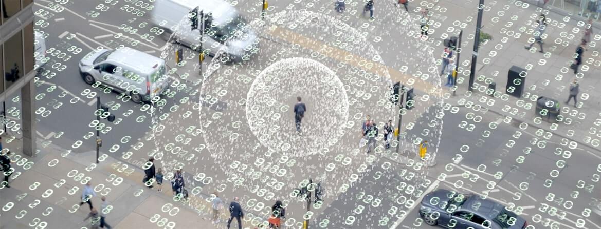
- Urban
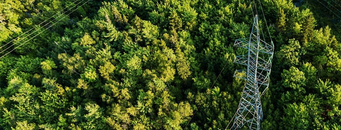
- Transport
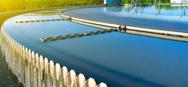
- Water
- Luse Mask
The 2nd level of activity was Base Map Generation Using High Resolution Satellite Data i.e., Ortho-Corrected Images’.
Under the first part of project, feature extraction with interpretation at 1:2K scale using high-resolution ortho-rectified and geocoded satellite data of 50 cm resolution was executed.
The second part involved creation of land use / land cover integrated mask (MASK) using the features extracted on the above defined three themes along with FOREST, WASTELAND and AGRICULTURE base themes.
Benefit to Client –
- Creation of central repository of departmental data & assets in GIS.
- Development of graphically rich integrated information system/geo-portal with sector specific requirements and Decision Support System (DSS).
- Minimization of the physical supply of geospatial database to the users and create an easy access through web to avoid data duplication and inconsistency by various departments like Irrigation, PWD etc. department
- Creation of inventory of government assets using innovative geo-spatial technology through centralized Web Server.
Key Project Highlights –
- Database generation using High-Resolution Satellite Imagery for 307,713 km2 of area.
- Used High Resolution Ortho rectified imagery interpretation for the extraction of various base map features.
- Features have been categorized in 4 different BAGs (Transport, Water, Urban, and Mask) with well-defined data model.
- Exhaustive attribute, planned by the department within predefined GDB structure, which is being populated up to the optimum availability.
Highly coordinated architecture to satisfy and meet the inter-relationship between various feature classes.