


 Tech Play
GPS based Tree Census for Tree Health Monitoring
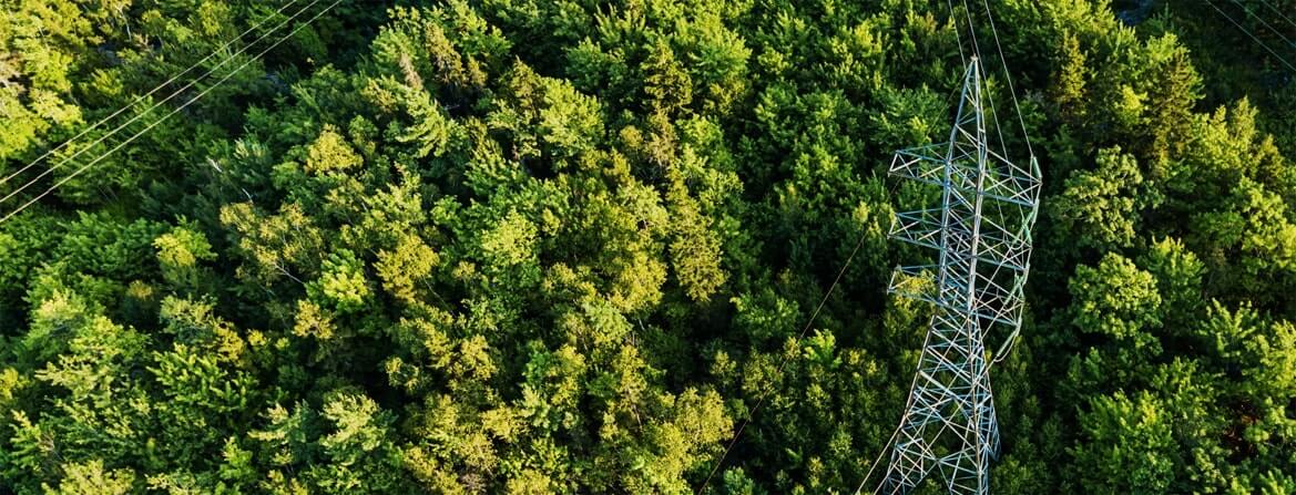
Understanding the nature for a greener future

Tree census is the process of documenting all the trees and their important attributes from a given area that characterizes trees and their locations which can be used to achieve management objectives. It is a first step in effective landscape management in a city’s limits. A tree census, done using a GPS device, enable to know the exact location (+/- 5m error) of the tree and thus helps in management and enhancement of the tree cover of the landscape. Tree census using GPS technology provides a database that characterizes the exact location of the tree. Along with the location, the other important parameters of the tree are its species, height, girth canopy diameter and overall health of the tree. All these parameters become an integral part of urban forestry.
Ceinsys executed a similar project for the city of Pune, also known as Queen of Deccan or Oxford of the East. Under the initiative of implementing smart cities and further to develop a 3D city approach, an urban forestry plan for the city area was required to be designed. Area under the urban boundaries was scanned and a thorough detailed plan was developed. A mobile app was developed to carry out the survey to cover all the trees. This involved geotagging the trees and demarcating the administrative boundary. The geotagging provided with an exhaustive database of the trees along with the administrative boundary details. The project aimed at creating a 3D view of the urban forestry laced with the details of forestry.
Other details captured were Latitude-Longitude, girth, height (Approx.), canopy diameter and common name of the tree. Existing map data uploading in the mobile application made it easier to navigate and understand the area. The database generated was uploaded on a GIS server making it easier to access. Once this activity was completed, an on-field verification was conducted and data was updated in the mobile application connected to the central server. Further the base map was updated with the field data verified by a team of experts consisting of botanists, taxonomists and environmental specialists.
The above activity was followed by a detailed analysis by the same team of experts to conclude on an urban forestry report.
The report generated covered the specifics:
- Tree species
- Botanical name, name of the family, flowering season and its origin
- Health condition of the tree
- Approximate height and age of the tree
- Canopy cover expansion
The data was updated on the central server and converted into a full-fledged web application and dashboard for the users wherein the user could select any boundary, study the tree pattern and download the report. The scope further extends to change detection for the city to be conducted every 5 years. This is performed on High- Resolution Satellite Image (HRSI).
Benefit to Client –
- Periodic tree monitoring
- Management of invasive species
- Urban forestry planning
- Health and species of tree monitoring
- Environment data required for research and analysis
Key Project Highlights –
- Requirement Analysis, Preparation of Solution/System Design Document
- Installation and Commissioning of GIS infrastructure at Data Centre
- Development/Operationalization of Android based mobile application and Hexagon based web application for the management of processes of Tree Authorities
- Team Capacity building by training the department on COTS and application development.
- Operation, Maintenance and Management of GIS platform, mobile and web application