


 Tech Play
Predictive flood modelling analysis using High-resolution Satellite
Imagery & Optical Remote Sensing Data
Designing data models for informed decision making
The onset of monsoon brings unprecedented rainfall followed by uncalled natural calamities like floods. This uncalled activity raises a big question on the environmental imbalance happening due to decreasing forest and natural habitats. Such a natural disaster requires analysing the topography and Land Use Land Cover of the affected region. When flood situation arises, GIS and Remote Sensing comes to the rescue. The low-laying areas gets completely submerged in bare minimum rainfall.
This similar situation prevailed in the financial capital of India, Mumbai where Disaster management authorities, disaster and relief departments & revenue were badly affected. The city was alarmed with a loud cry of one of the most devastating floods of all time. Mumbai Metropolitan Regional Development Authority (MMRDA) responsible for the balanced development of the area was perplexed with the situation. It was the time when Ceinsys Tech Ltd. came into the picture and provided its technical expertise to manage the situation. This project is about analysing the land use of the flood affected region followed by determining the thalweg profile of the river. The required river bed profile was detailed down using the Echo sounder and bathymetric surveys. The entire process was carried to design a predictive analysis method in case of any calamities in the future.
Purpose of this project was to design an analytical model to understand and visualise the extent of the disaster. The project started with means to perform the predictive analysis of the flood affected area by carrying out the Topographical Survey, Bathymetric survey and Investigation of a using Photogrammetry and Field Survey with the help of Total Station and Echo Sounder. The output of this activity was further utilized for informed decision making and making projections for the near real-time catastrophic events.
World View-2 Panchromatic & Multispectral Stereo Imagery was deployed for the entire Mumbai Metropolitan Region and its extension, covering an area of almost 15K sq. km for the purpose of extracting the planimetric features followed by generation of 1m of contours using Photogrammetric techniques. The river bed profile was carved out by bathymetric survey using the echo sounder and total station techniques.
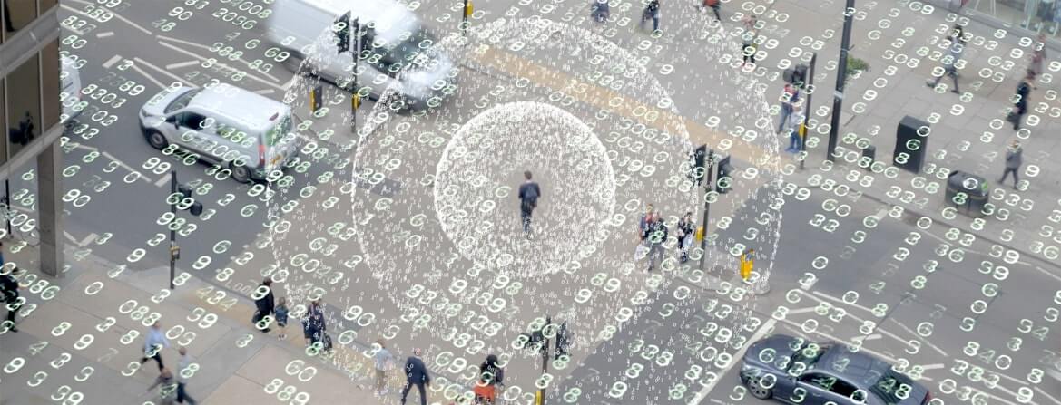
A land use was created to understand the extent of the flood. A 3D model of the entire area was created to perform the change detection analysis. Change detection is a method of performing pre and post analysis in order to understand the changes occurred or the extent of the disaster or any event happened. All the data which was created was integrated and projected on a dashboard to visualise the flood extent display.
Ceinsys carried out the impact analysis post disaster and generated a predictive analysis model to make sure that in case of any such future events the mankind is well prepared to face the challenges posed by nature.
Overall, Ceinsys’ solution offers a valuable and resourceful approach to effectively manage and mitigate the impact of floods. By leveraging advanced technologies and data analysis, it aims to minimize the damages caused by these hazardous events.
Benefits:
• Generate high accuracy topographical data by avoiding field hazard and avoiding manual survey error.
• Study various hydrological characteristics by using various survey parameters.
• Decision making regarding Town Planning.
• Determination of flood affected area: In-house analysis for Flash floods with high intensity short duration rainfall events.
• Planning regarding Evacuation and Rehabilitation.
• Guidelines for safety measures during floods.
• Management of Sedimentation and Solid Waste.
• Knowing thalweg profile of river.
• Easy to use management dashboard for decision making.
• Input data for future planning – Forecasting events with high precession.
Key Project Highlights:
• Analysis of 15K Sq. Km of High-resolution satellite data.
• Real-time predictive analytical model creation.
• Dashboard for informed decision making.