


 Tech Play
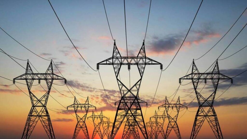
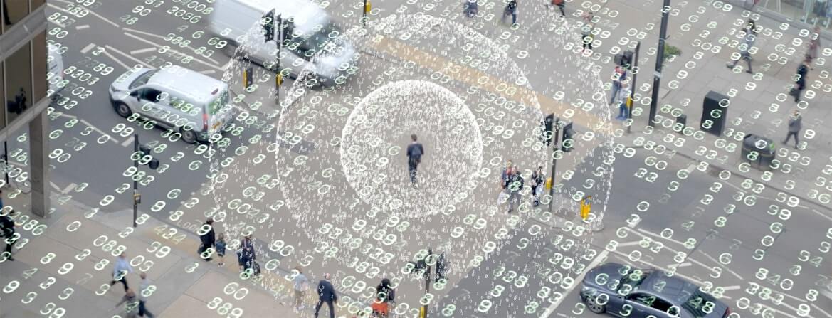
Unified GIS Solution for Electric Utilities
RAPDRP- Restructured Accelerated Power Development & Reforms Programme, a central sector program was launched by Indian Government with an aim to reduce AT&C losses, Energy accounting and auditing & Enforcement of Transparency in business operation. Under this programme it is proposed to cover towns with high density population areas having significant loads from domestic and industrial connections. This programme outlines GIS mapping, Metering of Distribution Transformers and Feeders, and Automatic Data Logging for all Distribution Transformers and Feeders integrating into SCADA and Distribution Management System (DMS) for the IT application. The IT application is for meter reading, billing & collection; energy accounting & auditing, MIS, redressal of consumer grievance and establishment of IT enabled consumer service centres.
Ceinsys was appointed as System Integrator to implement, design and develop a GIS based IT Platform for viewing and accessing electrical network asset data of 587 towns. The operation started with data collection to establish the baseline data required for IT applications for energy accounting/auditing. The baseline data covered consumer indexing, GIS mapping, Metering of Distribution Transformers and Feeders, and Automatic Data Logging for all Distribution Transformers and Feeders and SCADA / DMS system. It includes Asset mapping of the entire distribution network at and below the 11kV transformers and include the Distribution Transformers and Feeders, Low Tension lines, poles and other distribution network equipment.
The proposed solution involved:
- Design, Development, Deployment and Operations of an updated GIS Platform for viewing and accessing electrical network asset data of all towns.
- Upgrading legacy data to latest ESRI platform and capture the network assets through survey to create a complete GIS based Asset Management System
- GIS Updation Management to look after all delta change requirements and populate GIS database to keep all the Assets and consumers updated in the System.
- Integration of GIS platform through appropriate connector / web services with existing legacy, RAPDRP, ERP systems and latest technologies like ADMS, SCADA, DA, AMR, AMI, MDM, ADR and OMS.
Solutions components were:
- Data Modeling and Design.
- Data Collection, Creation and Correction
- ArcFM Configuration and ArcSDE Administration
- Creation of Web Services, Layers, Maps and Apps
- Application Development and Deployment in DC &DR.
- Maintenance and Managed Services
- Integration with other Enterprise System
The solution designed by Ceinsys ensured the following benefits:
- Reduction in Distribution Losses up to 15%.
- Increase in revenue with the adjustment of billing grade.
- Reduction in Theft pockets by introducing underground network based on data analysis.
- Increase in customer satisfaction index.