


 Tech Play
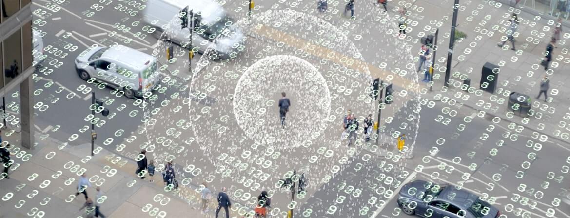
Web GIS for Property Survey and Analysis enabling Transparent Tax Collection
Infrastructure growth and demand has been increasing since last decade which has led to increasing citizen demands. As citizens demand grows the regularization of all services and mapping of all assets becomes most important aspect of city administration. The need of enhancement of the citizen services, know the ground reality for planning and mapping/protection of existing corporation assets gives rise to Property Survey and Analysis.
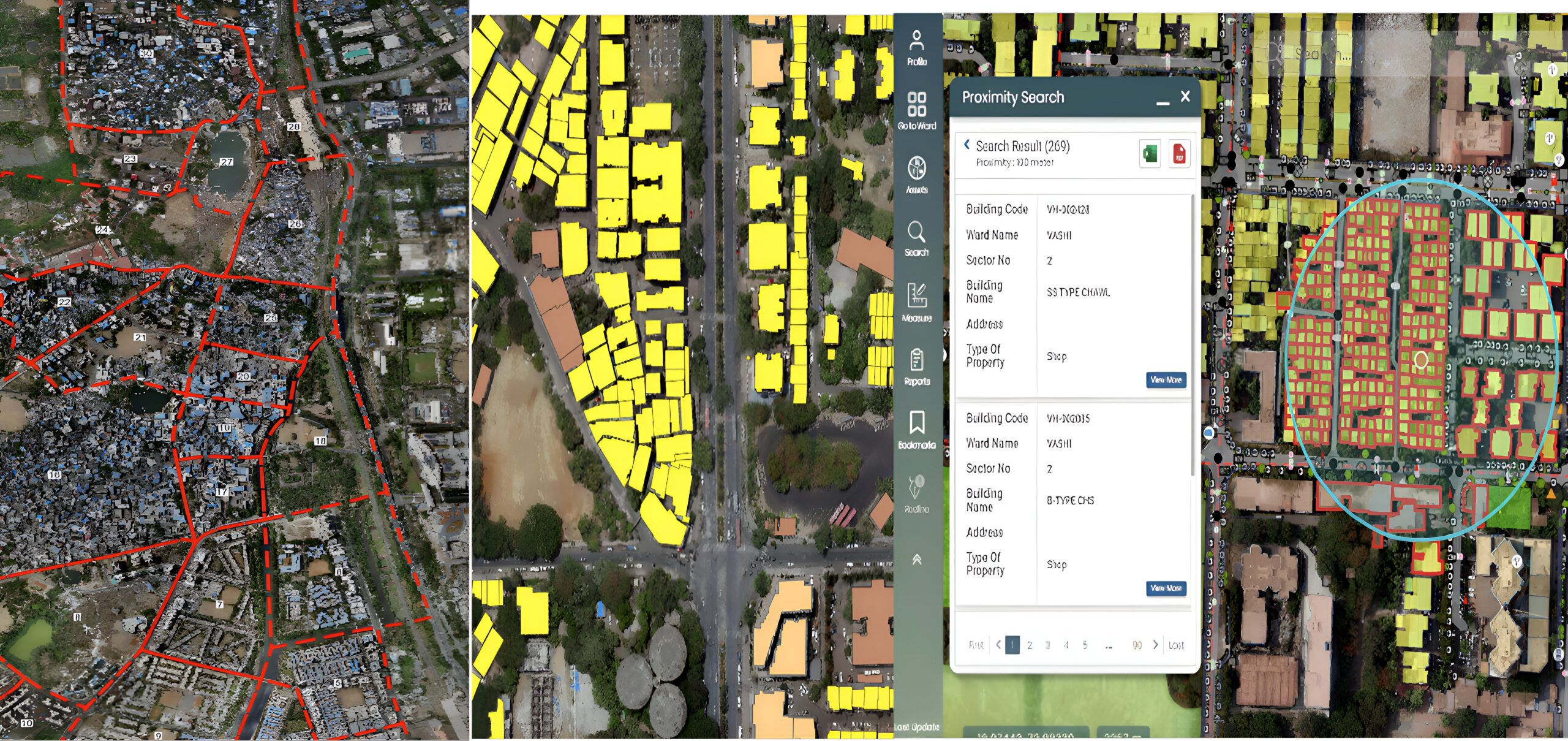
When Navi Mumbai Municipal Corporation decided to develop and advance its infrastructure, it required a Property Survey & Analysis system in place. To address these needs, Ceinsys devised the project “Property Survey and Analysis”. This project is a comprehensive study of a specific property with the aim of evaluating its current condition, identifying potential issues, and proposing solutions for improvement. The project involves conducting a thorough survey of the property using LiDAR, UAV & High-Resolution Satellite Imagery to analyze the data, and providing a detailed report of findings and recommendations. The report generated by the project serves as a valuable tool for property owners, buyers, and sellers, as it provides critical information about the property’s strengths, weaknesses, and potential for improvement. The Property Survey and Analysis Project (PSAP) is an essential step in ensuring the long-term viability and success of any real estate investment. The purpose of this project was to provide authentic field survey data and web enabled application as technical support for property tax assessment and reconciliation process to meet the goal of mapping each property and enhancing tax collection through transparent approach. The project aimed at capturing accurate information related to properties as they exist on the ground. The ground information was captured ‘as is’ at street level using state-of-the-art mapping and surveying technologies including satellite imagery / UAV image to update base map data; LiDAR (Light Detection and Ranging) technique for measurement capability, 3600 panoramic imagery, physical field survey and collate overall data to validate against attribute information available in MIS tax records and make all information available on GIS platform.
The first and foremost activity was to create a base-map using recent satellite imagery / unmanned Aerial Vehicle (UAV), survey all properties in the jurisdiction and preserve authentic visual support for change detection. This was followed by designing a web based centralized online GIS solution supporting visual data proofs to enhance and support day to day property assessment activity and to provide a robust and reliable revenue-oriented decision support system.
The proposed PSAP system was an ArcGIS Enterprise based web GIS application developed using industry – standard web development environments along with ArcGIS Desktop as the desktop bulk editing solution. This system served users view, query and generate maps, do the necessary analysis and generate reports as required.
The primary focus of the system was providing a revenue-oriented decision support system through accurate spatial and non-spatial data capture, storage and access. Solution was based on ArcGIS Server solution coupled with PostGRE SQL RDBMS hosted on Government Community Cloud.
It had Service Oriented Architecture (SOA). Server-based GIS solutions delivered geospatial content and capabilities via Web services. Web services provide the building blocks upon which broader IT strategies are based, such as the implementation of Service Oriented Architecture (SOA). A geospatial SOA was supported by the efforts of GIS professionals who use desktop GIS software’s such as ArcGIS Desktop to author, configure, and maintain GIS data, models, and applications. The authored content is published on a GIS server upon which services are delivered to support mapping, query, analysis, and more. Once published, these services were consumed by a variety of client applications (e.g., mobile, 2D and 3D GIS, and other business applications), workflows (geocentric and non-geocentric), and processes (e.g., ETL). With the addition of an integration platform, which included an enterprise service bus, GIS services were fused with the other shared services of complementary enterprise systems (CRM, ERP, CIS, etc.) to provide a more complete business picture.
Overall, the project resulted in:
- Online 24 x 7 Solution to administrative officers for up-to-date geographic information and know the ground reality for planning and mapping/Protection of existing corporation assets.
- Detailed Property reconciliation, mark deviated properties and derive deviation report.
- Effective Management of Utility assets -Water/Sewerage/Wastewater/storm water drain/sanitation facilities/solid waste management etc.
- Identification of Encroachment Areas.
- Integrate system with various layers like Utility, Assets, Building (footprints), Roads (Tar/cemented portion) and data base linking.
- Utility Asset Life Cycle and Management.
Data-driven decisions support system that enables upstream processes of reconciliation and accurate tax Assessment/Collection through transparent approach and improvement quality of life.